You are standing at a trailhead in the Dolomites. The wooden sign says Sentiero 4, and next to it someone has stencilled a red and white mark and two letters: EE. A family with daypacks sets off in front of you. Twenty minutes later the path narrows, the ground drops away on one side, and a steel cable appears bolted to the rock. The letters were telling you something the whole time — you just had to know how to read them.
Italian hiking maps use a short, stable vocabulary for difficulty. Learn four grades and a handful of symbols, and you can look at any route on paper and know roughly what your afternoon will feel like.
Where the Letters Come From
The scale is the work of the CAI — the Club Alpino Italiano, the national mountaineering body whose local sections mark and often maintain the country's trails. You will see the grades on Tabacco maps, on trailhead signs, in park leaflets and in most Italian guidebooks. Because the CAI is a volunteer organisation with a long history, the markings are consistent in spirit but not always identical from region to region, so treat the letters as informed guidance rather than a legal classification.
Two things are easy to confuse with it. First, the Swiss SAC scale (T1 to T6) appears on some maps in the northern border regions and looks similar but is not the same. Second, climbing grades (Roman numerals, or French and UIAA scales) describe technical rock. Those belong to a different conversation. The four letters below are about walking routes.
- T — Turistico (tourist)
- E — Escursionistico (hiker)
- EE — Escursionisti Esperti (experienced hikers)
- EEA — Escursionisti Esperti con Attrezzatura (experienced hikers with equipment)
T — Turistico: Paths for Almost Anyone
A T route is what most of us would call a walk. Gradients stay gentle, surfaces are usually solid, and the path is wide enough that you can talk side by side. Exposure is essentially nil — no drops beside your boots, no scrambling. Waymarking is frequent and obvious, and junctions are signposted.
Street shoes are technically enough on a dry day, though trail shoes are kinder. Typical examples are the easy lakeside circuits in the Dolomites, farm tracks through the Chianti hills, or the flat coastal paths of Liguria. If you are hiking with young children, a nervous companion or a tight schedule, T is your friend. Read the distance and altitude gain anyway: a 15-kilometre T route is still 15 kilometres.
E — Escursionistico: The Standard Hiking Grade
Most marked mountain trails in Italy sit at E. You will climb, often steadily. Expect 500 to 1000 metres of ascent on a normal day out, uneven ground, roots, rock steps and occasional short sections where you plant a hand for balance. The path is generally clear and continuous, but it may be narrow and it may traverse a slope.
The practical requirements are simple: proper hiking boots with ankle support, water, a map or a reliable offline track, and enough daylight. Exposure on E routes is usually limited — a slip might bruise you rather than kill you — but "usually" is doing work in that sentence. A stretch of E path in a storm, in fog, or on lingering snow patches can ask far more than the grade suggests. Alpine huts are commonly reached by E routes, which is why so many people's first Italian mountain day is an E day.
EE — Escursionisti Esperti: Hands, Head and Exposure
Here the terrain changes character. EE routes take you onto ground where a fall could be serious: exposed traverses, faint paths across scree, short scrambles, ledges with air beneath them. You will use your hands at points. The waymarking becomes sparser and less reliable — paint on rock rather than signposts — and route-finding on scree or in cloud is part of the job.
Three things matter at this grade. Sure-footedness, because the surface is loose or irregular. Head for heights, because exposure is the defining feature. And experience, because the decisions are now yours: whether to continue when the cloud drops, whether the snow patch is passable, whether to turn around. Fixed cables or short aided steps sometimes appear on EE routes without changing the grade, which is worth knowing — the cable is a comfort, not a guarantee. A helmet and, in some cases, a via ferrata harness are sensible additions.
Many of the classic Dolomite traverses, high passes in the Gran Paradiso, and the sharper Apennine ridgelines fall here. If you have never done an EE route, do the first one with someone who has, on a dry day, with a short and reversible itinerary.
EEA — Attrezzatura: Aided Routes and Via Ferrata
EEA means the route is equipped. Steel cables, iron rungs, ladders, stemples hammered into the rock and suspension bridges are part of the line, sometimes for hundreds of metres. These are the vie ferrate, and Italy — above all the Dolomites, Brenta and the Garda mountains — is where they were invented.
Equipment is not optional on EEA. A sit harness, a purpose-made via ferrata set with an energy-absorbing lanyard, a helmet and a belay device are the baseline; a short sling and carabiners are useful for resting and for clipping into anchors at stances. Gloves save your hands. Beyond kit, the demands are real: upper-body effort on vertical ground, and long stretches of serious exposure where the cable is the only protection.
Two habits separate a good day from a bad one. First, clip both lanyard arms sensibly — always at least one, and both at anchors. Second, understand that a ferrata can be harder in bad weather or when crowded, since passing other parties on a vertical cable takes time and care. If you have no ferrata experience, go with a mountain guide or an organised course first. This is one of the places where a few hours of instruction change everything.
Reading the Rest of the Legend
The grade is the headline, not the whole story. Scan the map legend for the supporting details:
- Walking times — Italian maps usually quote times for a fit adult, and they assume you keep moving. Add a third for a group, photographs and stops.
- Exposure and aided-section symbols — a dotted line, a cable icon or the words tratto attrezzato change the day.
- Huts and water — rifugio, bivacco, fontana. On high routes, water sources are the real constraint.
- Escape routes — a way down that is shorter than turning back is worth knowing before you need it.
- Seasonality — a closed rifugio or a snow-covered north face can turn an E into an EE.
How to Use a Rating Well
Treat the letter as a filter, then do your own arithmetic. Ask what the altitude gain actually is, how long the route spends on exposed ground, and whether you would be comfortable there in poor visibility. Be honest about your companions: the grade that suits you may not suit the friend you are walking with, and the group moves at its slowest member.
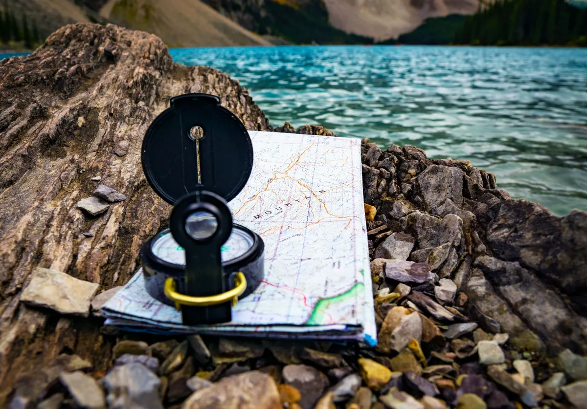
Check conditions in the days before you go. Local CAI sections, park authorities and refuge managers post notices about closed paths, storm damage and bridge outages, and a phone call to a hut is often the fastest way to learn whether a section is passable. Carry a paper map as well as a digital one; batteries die and screens crack.
Finally, remember that the scale describes terrain, not your ability. A confident hillwalker with good balance can enjoy many EE routes; a fit runner with no head for heights may hate every metre of one. Start one grade below what you think you can manage, and let a good day on an E route tell you whether the EE line on the map is calling.
Photo: Joshua Woroniecki / Pexels